Accurate mountain weather on every elevation
Plan your hike with confidence. We show you temperature, wind, conditions and more at every elevation from trailhead to the peak.
Whether you're planning a casual day hike or a serious climb, you'll know what's waiting for you up there
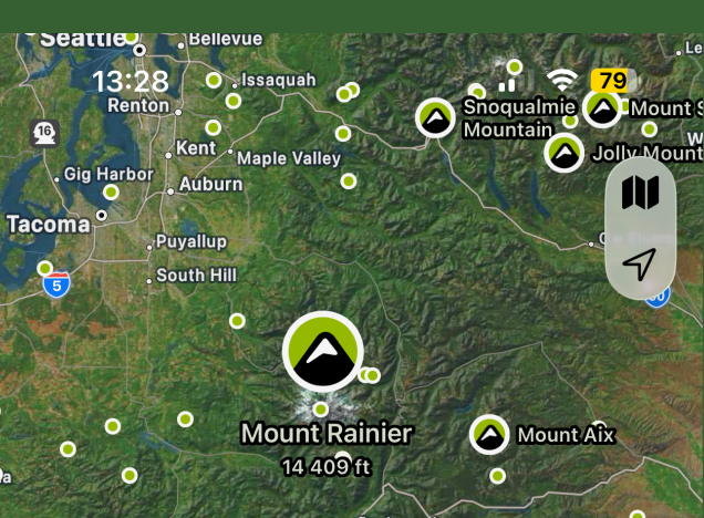
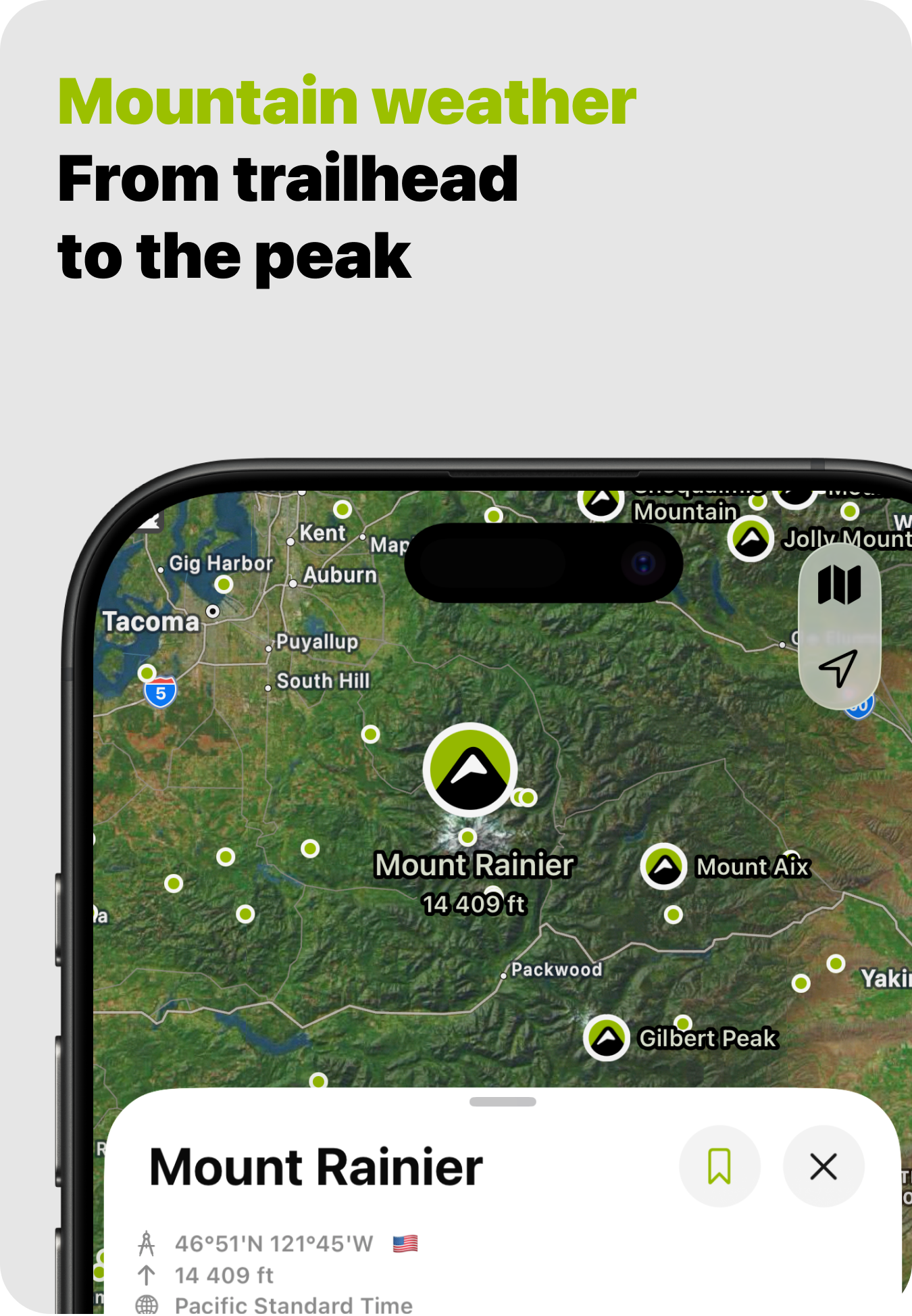
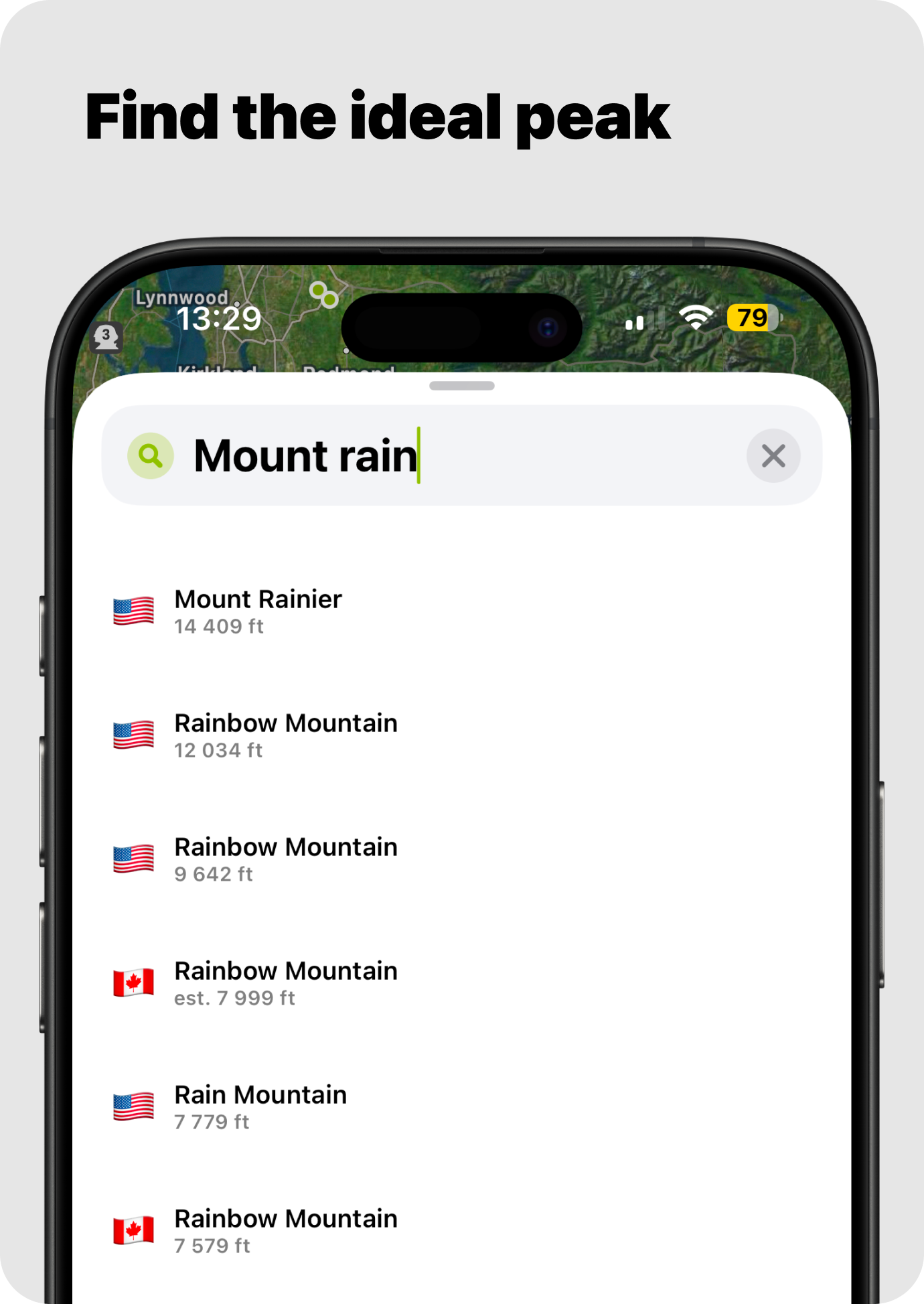
Map of nearest peaks

Easily find peaks on the map and by GPS
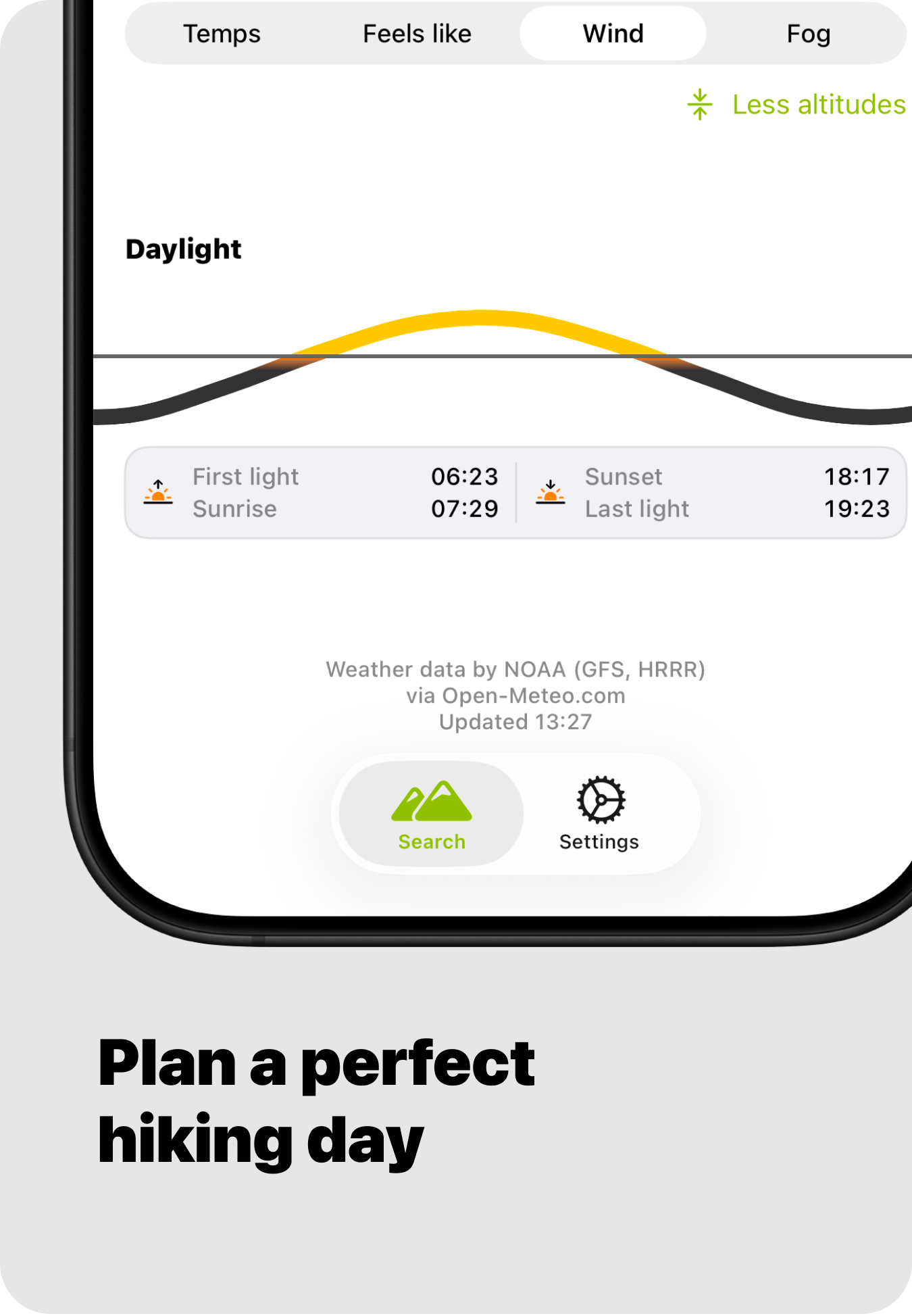
Accurate hourly forecast
Plan your mountain trip with maximum precision

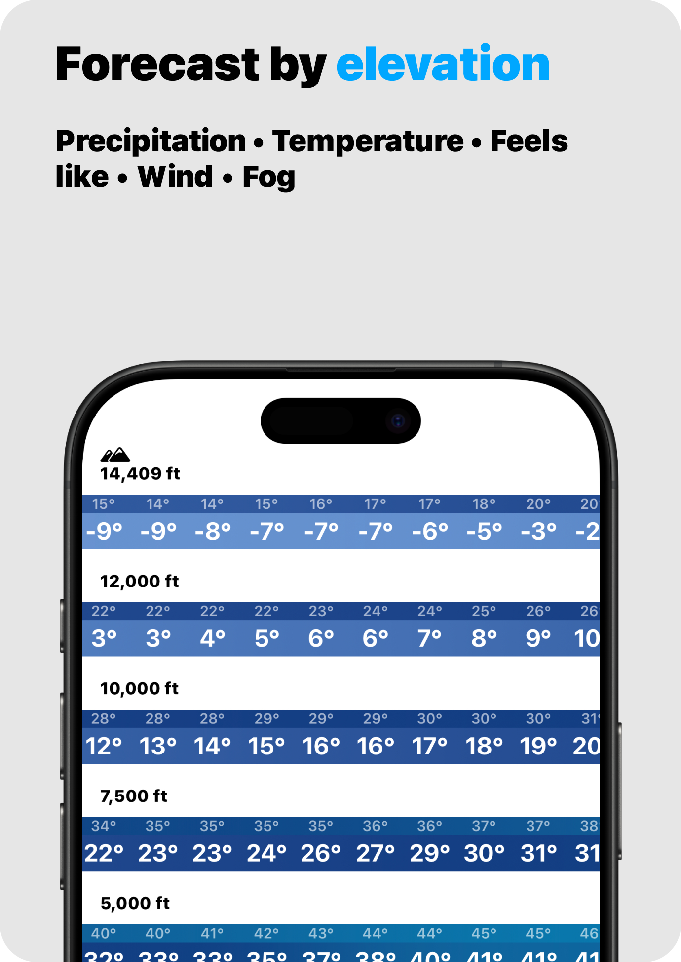
More mountain elevations
Forecast for up to 5 different elevations of each peak

7 days forecast ahead
Plan ahead and see how the forecast affects your plans

Map of nearest peaks
Easily find peaks on the map and by GPS
Accurate hourly forecast
Plan your mountain trip with maximum precision
More mountain elevations
Forecast for up to 5 different elevations of each peak
7 days forecast ahead
Plan ahead and see how the forecast affects your plans
Search for your next destination or download our app for even more details
Get the app →Over 500 000
mountain peaks
Thousands
of app users
4.9
app rating
★★★★★

Data provided by NOAA
For the most accurate forecast we use worldwide weather data on different altitudes, usually used by airlines and military. Sourced from NOAA's GFS and HRRR weather models with 1 hour resolution and 7 days of forecast.
Let's go on an adventure!
Scan the QR code to download the Peak Weather app