
Mount Hood
Atmospheric conditions from valley to peak
Mount Hood is a striking peak in northern Oregon, about 75 kilometers east-southeast of Portland, and it is the highest mountain in the Cascade Range. Its glacier-covered slopes and broad alpine setting make it a memorable destination for hikers, with big views over the Columbia River Gorge and the surrounding high country. Late summer through early fall is usually the best time to hike, when snow has pulled back from many lower routes, trails are drier, and the weather is more settled.
Sunday, August 23
Summit temperature from 34° to 42°, but feels colder because of the wind. Strong wind that can affect your balance. Foggy in the early morning, clearing up by evening.


Precipitation
 11237 ft

Nearby weather station
77°- Feels like
- 77°
- Wind
- 9 mph
- Visibility
- 10 mi
- Humidity
- 41%
- Pressure
- 1017 hPa
More in our app
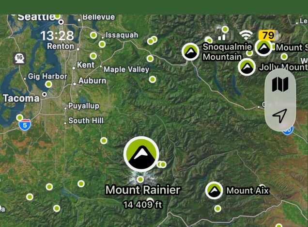
Map of nearest peaks

Easily find peaks on the map and by GPS
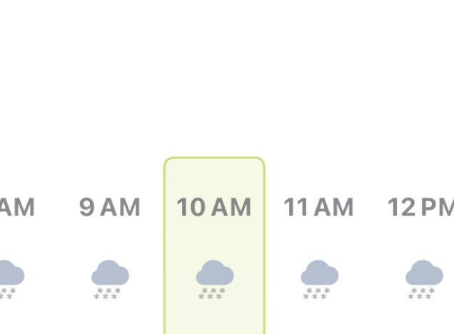
Accurate hourly forecast
Plan your mountain trip with maximum precision
More mountain elevations
Forecast for up to 5 different elevations of each peak

7 days forecast ahead
Plan ahead and see how the forecast affects your plans
Map of nearest peaks
Easily find peaks on the map and by GPS
Accurate hourly forecast
Plan your mountain trip with maximum precision
More mountain elevations
Forecast for up to 5 different elevations of each peak
7 days forecast ahead
Plan ahead and see how the forecast affects your plans
Remember!
Mountain weather can be unpredictable. Always pay attention to conditions around you and be prepared for sudden weather changes.