
Mount Saint Helens
Atmospheric conditions from valley to peak
Mount Saint Helens stands in southwestern Washington in the Cascade Range, and its dramatic volcanic shape makes it one of the most memorable peaks in the United States. Hikers come for the stark, changing landscape and the wide views across the surrounding forests and valleys, with the mountain’s 1980 eruption still visible in the terrain. The best time to hike is usually late summer into early fall, when most snow has melted, trails are steadier, and the weather is generally drier and clearer.
Monday, August 24
Summit temperature from 42° to 54°, but feels colder because of the wind. Foggy in the early morning, clearing up by evening.


Precipitation
 6818 ft

Nearby weather station
77°- Feels like
- 77°
- Wind
- 3 mph
- Visibility
- 10 mi
- Humidity
- 50%
- Pressure
- 1020 hPa
More in our app
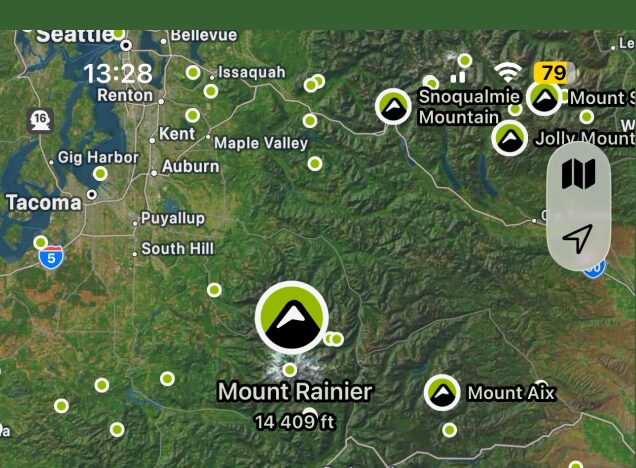
Map of nearest peaks

Easily find peaks on the map and by GPS
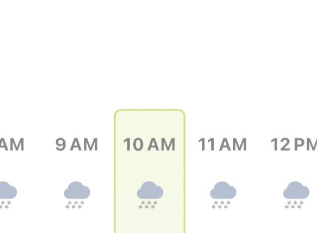
Accurate hourly forecast
Plan your mountain trip with maximum precision
More mountain elevations
Forecast for up to 5 different elevations of each peak
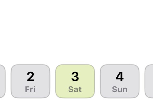
7 days forecast ahead
Plan ahead and see how the forecast affects your plans
Map of nearest peaks
Easily find peaks on the map and by GPS
Accurate hourly forecast
Plan your mountain trip with maximum precision
More mountain elevations
Forecast for up to 5 different elevations of each peak
7 days forecast ahead
Plan ahead and see how the forecast affects your plans
Remember!
Mountain weather can be unpredictable. Always pay attention to conditions around you and be prepared for sudden weather changes.